UAV MAPP UNMANNED AERIAL VEHICLE MAPPING
UAV MAPP - Unmanned Aerial Vehicle Mapping
We focus on safeguarding national borders as a major importance, illegal border crossings and Drones equipped with state-of-the-art mapping technology and thermal cameras provide a revolutionary way to significantly improve border security operations. By combining these technologies, security agencies can increase their ability to recognize and respond to potential threats quickly.
To effectively secure borders, proactive measures must be combined with operational efficacy, strategic planning, and planning. By using advanced mapping technology, security professionals can more effectively counter new threats, respond to existing ones more quickly, and allocate resources more efficiently.
Combining the use of sophisticated mapping technology and thermal imaging capabilities enhances operational efficiency while fortifying security protocols. Drones equipped with these technologies allow security personnel to make quick decisions by giving them access to real-time data and actionable insights
PROJECTS
AERIAL FLIGHT PLANNING
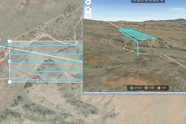
Our meticulous approach begins with comprehensive analysis of border regions, identifying potential vulnerabilities and threat hotspots. Leveraging cutting-edge technology and expert insights, we meticulously prepare detailed flight plans tailored to each unique border landscape. Our skilled drone operators execute these plans with precision, conducting aerial patrols and surveillance missions to monitor border activity in real-time.
AERIAL DATA PROCESS
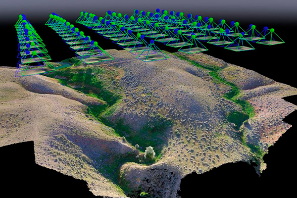
The data collected is then meticulously analyzed by our team of data experts, enabling swift detection of suspicious behavior or breaches. By providing proactive monitoring and actionable intelligence.
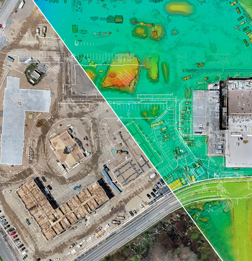
Furthermore, the generation of georeferenced and 3D maps aids in the analysis for preventive actions to avoid and identify potential points of failure.
BORDER CONTROL
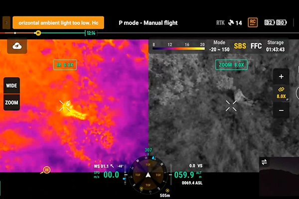
By leveraging thermal imaging, we can detect heat signatures even in challenging conditions, such as dense foliage or low light. This allows us to identify potential intruders or illegal crossings with greater accuracy.
Our zoom capabilities allow for detailed inspection of suspicious activity from a safe distance, minimizing risk to border patrol agents and collecting real-time location data for more efficient decision making.
FOUNDER & CEO
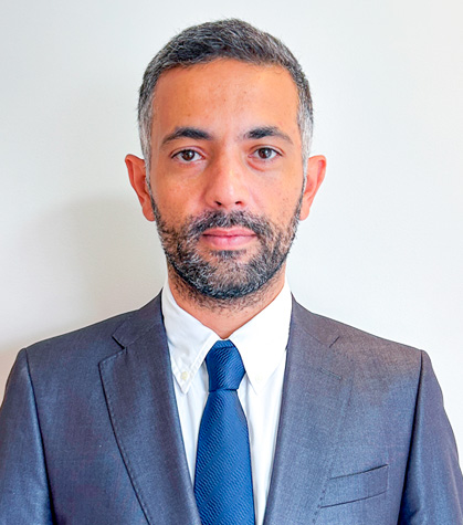
Mr. Henrique Cunha is a highly qualified professional with more than nine years as founder and leader of a company, leader in providing specialized education in drones. Mr. Henrique also developed and implemented, in partnership with one of the major security companies in Brazil, a monitoring system for security with the use of drones equipped with thermal cameras and mapping risk areas. Henrique is currently developing an application focused on the drone segment, focusing on national borders and security, and equips drones with thermal cameras and state-of-the-art mapping technology to maximize protection operations and border inspection. It also integrates georeference maps and 3D models. An endeavor that combines his expertise in the drone segment and technological know-how to deal with the growing need for public safety and border control. Henrique Cunha is dedicated to developing creative solutions that address unique requirements of customers and keep up with the most recent developments in that niche.
